
Framkom
Know every slope before you go
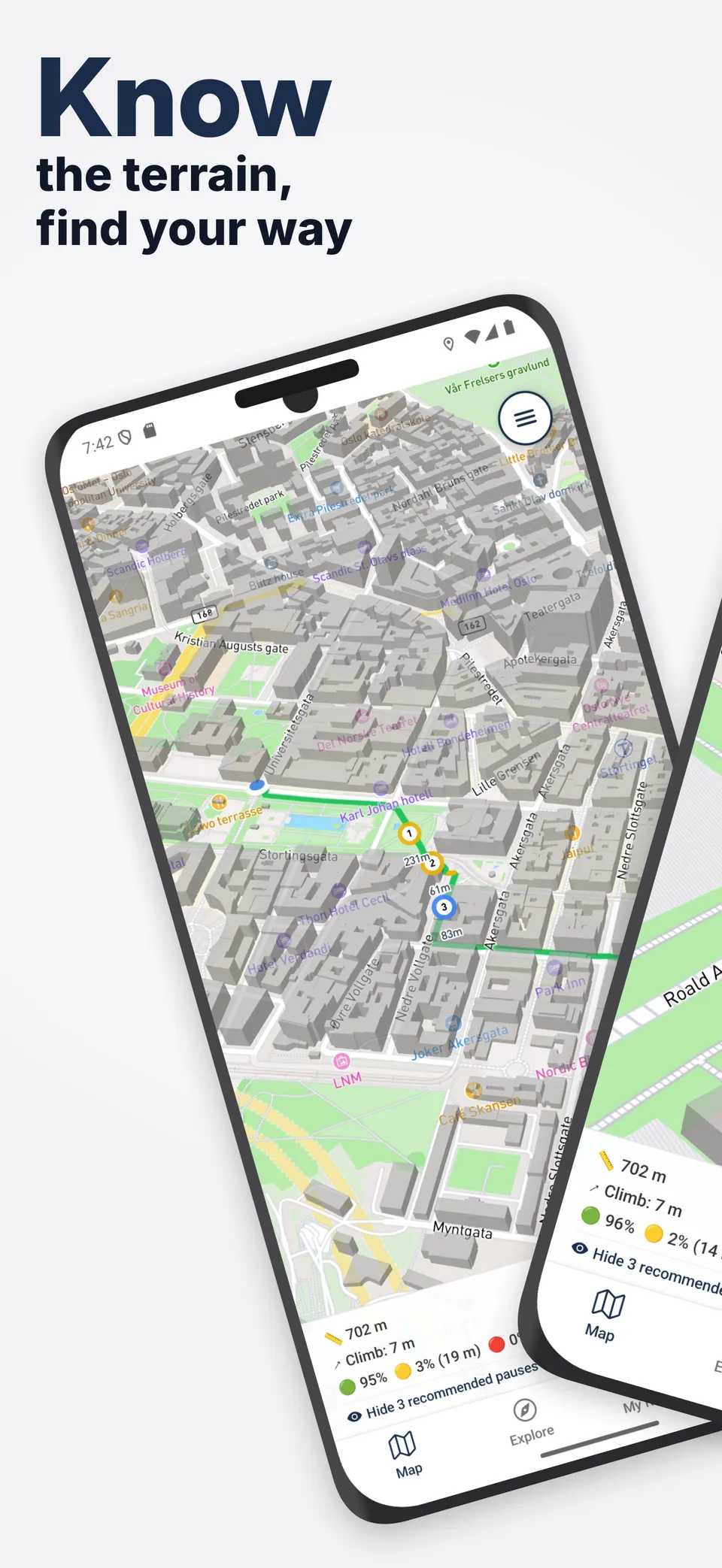
Framkom analyses walking and wheelchair routes for slope difficulty, surface quality, and distance, then colour-codes them with a traffic-light system so you can judge whether a route is safe and comfortable before you set out.

Hiking trails & city walks, built right in
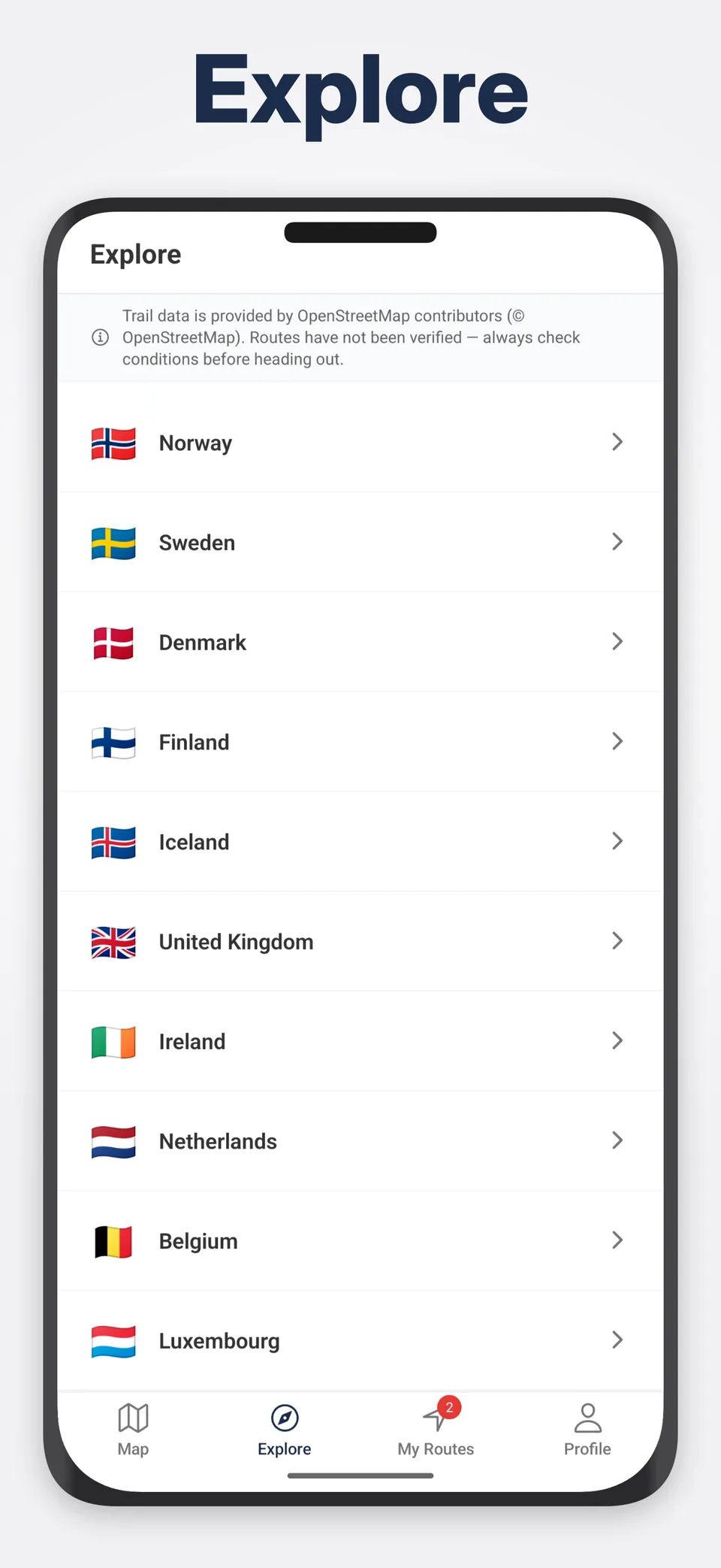
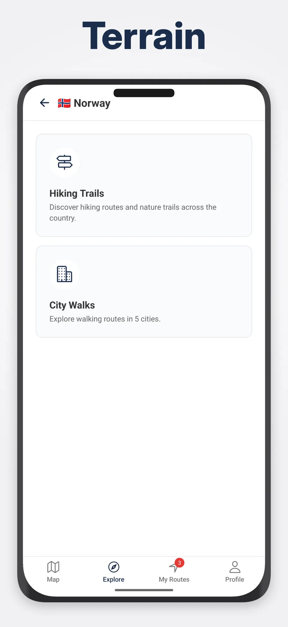
Search across 33 countries, pick any trail or city walk, and get an instant slope analysis with our traffic-light system. Every route mapped with elevation data every 5 metres.
Explore the mapSee It in Action
Key Features
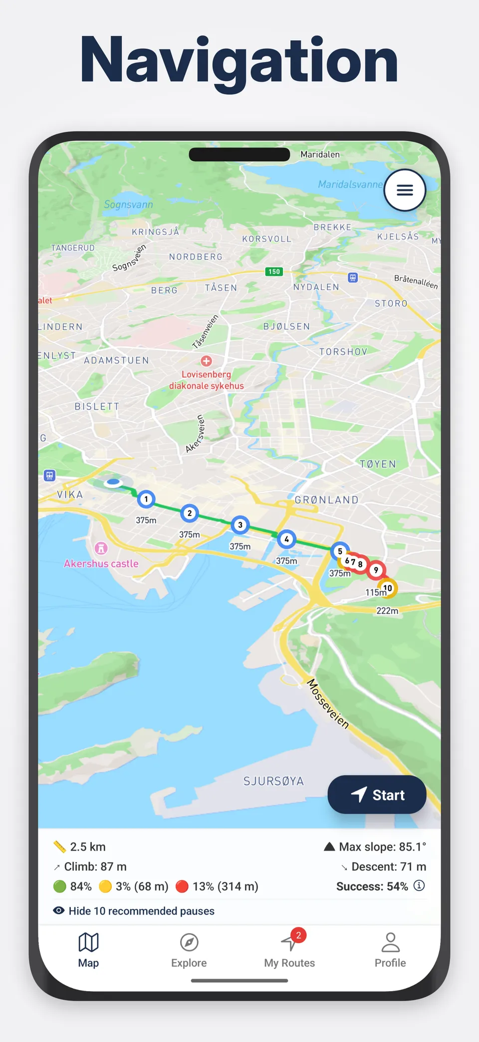
Traffic-light slope rating on every segment
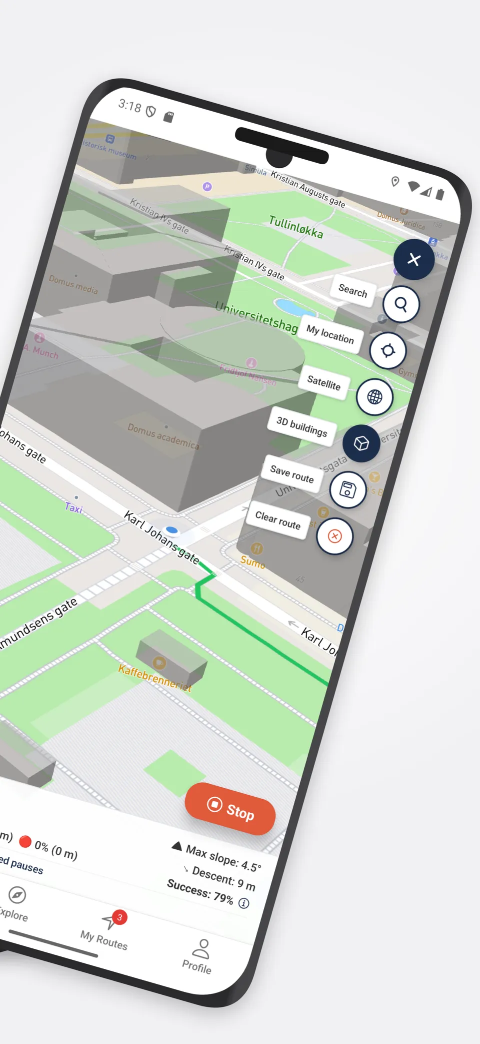
Wheelchair-aware routing that avoids stairs and kerbs
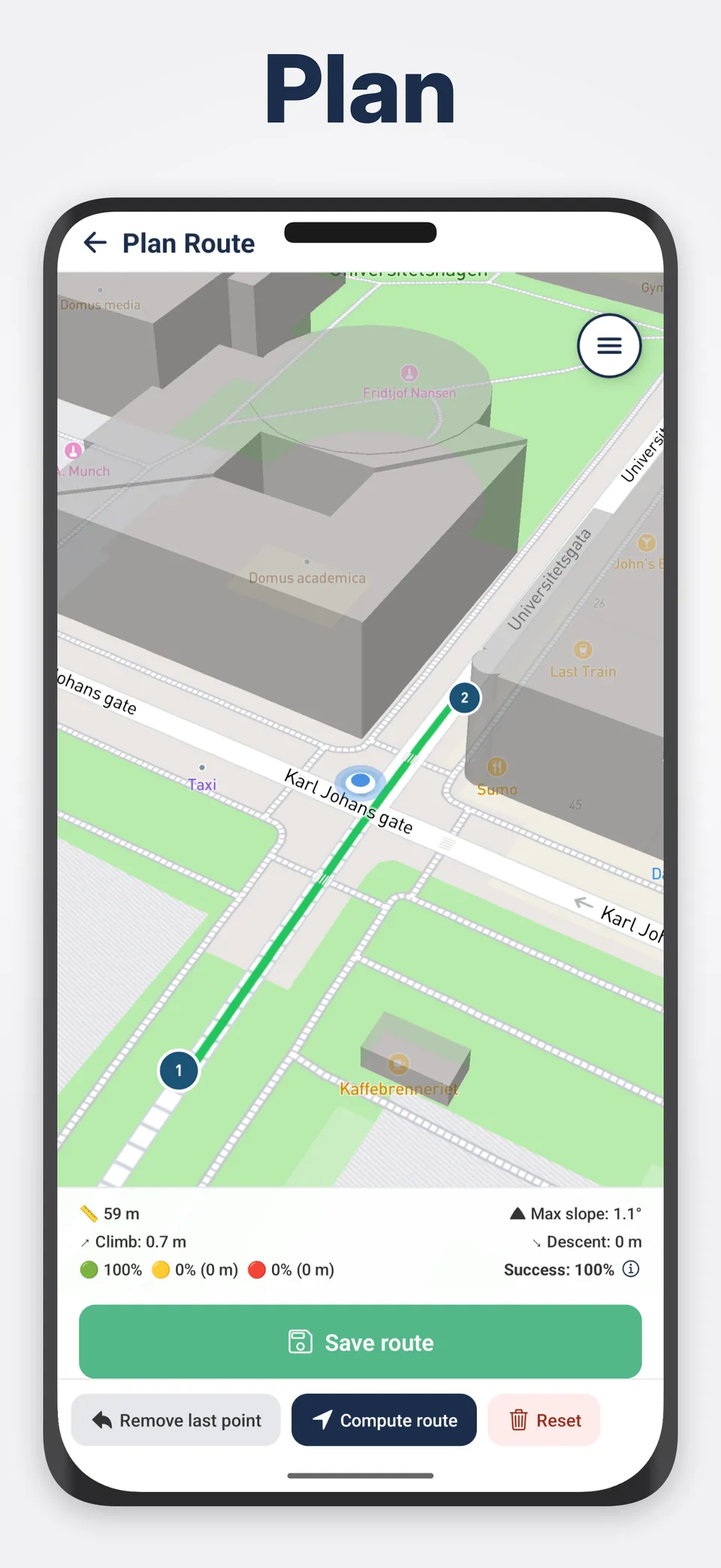
Slope analysis every 5 m with elevation precision
Explore trails and city walks in 33 countries
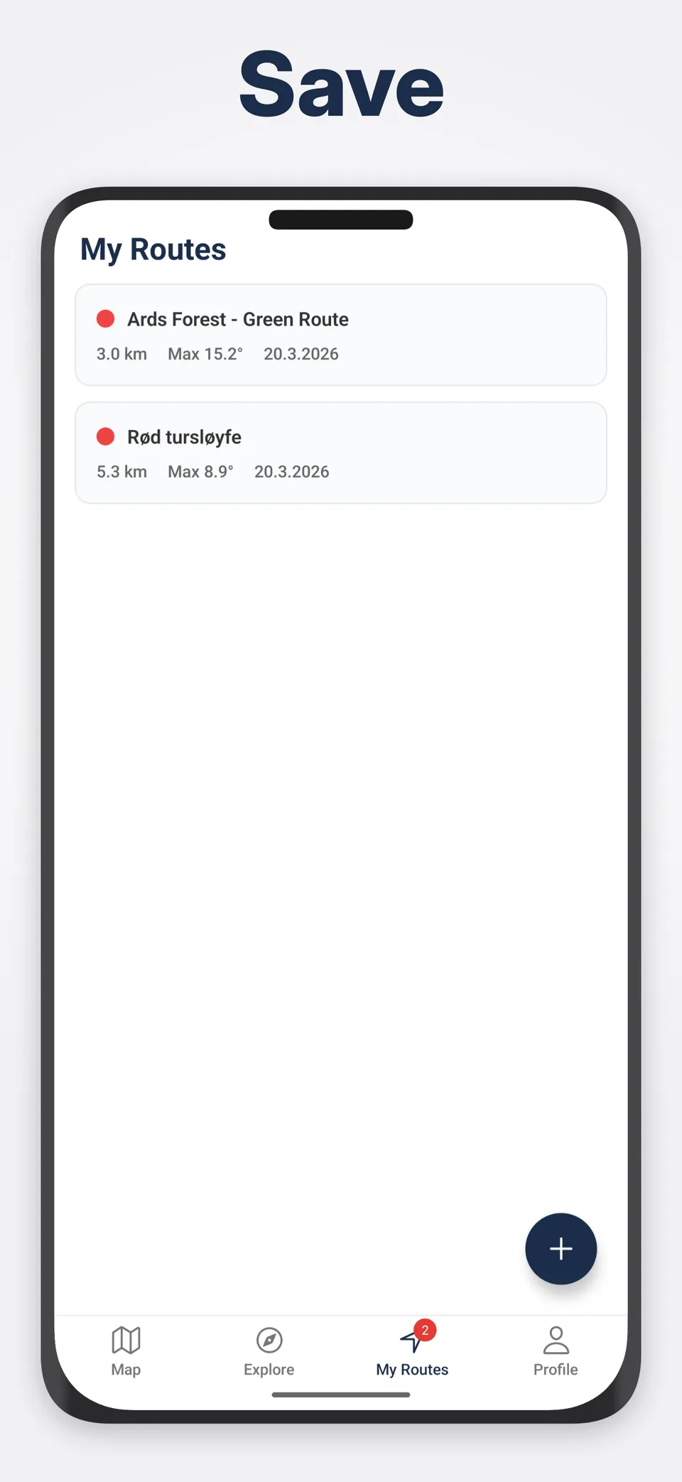
Save and revisit routes with full stats
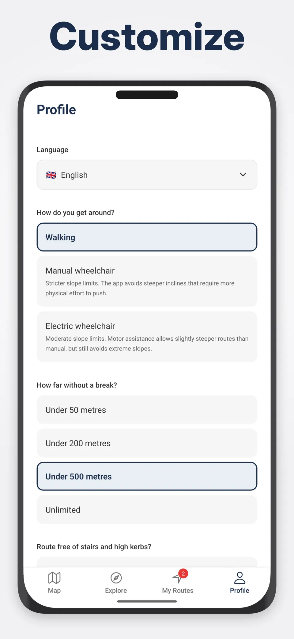
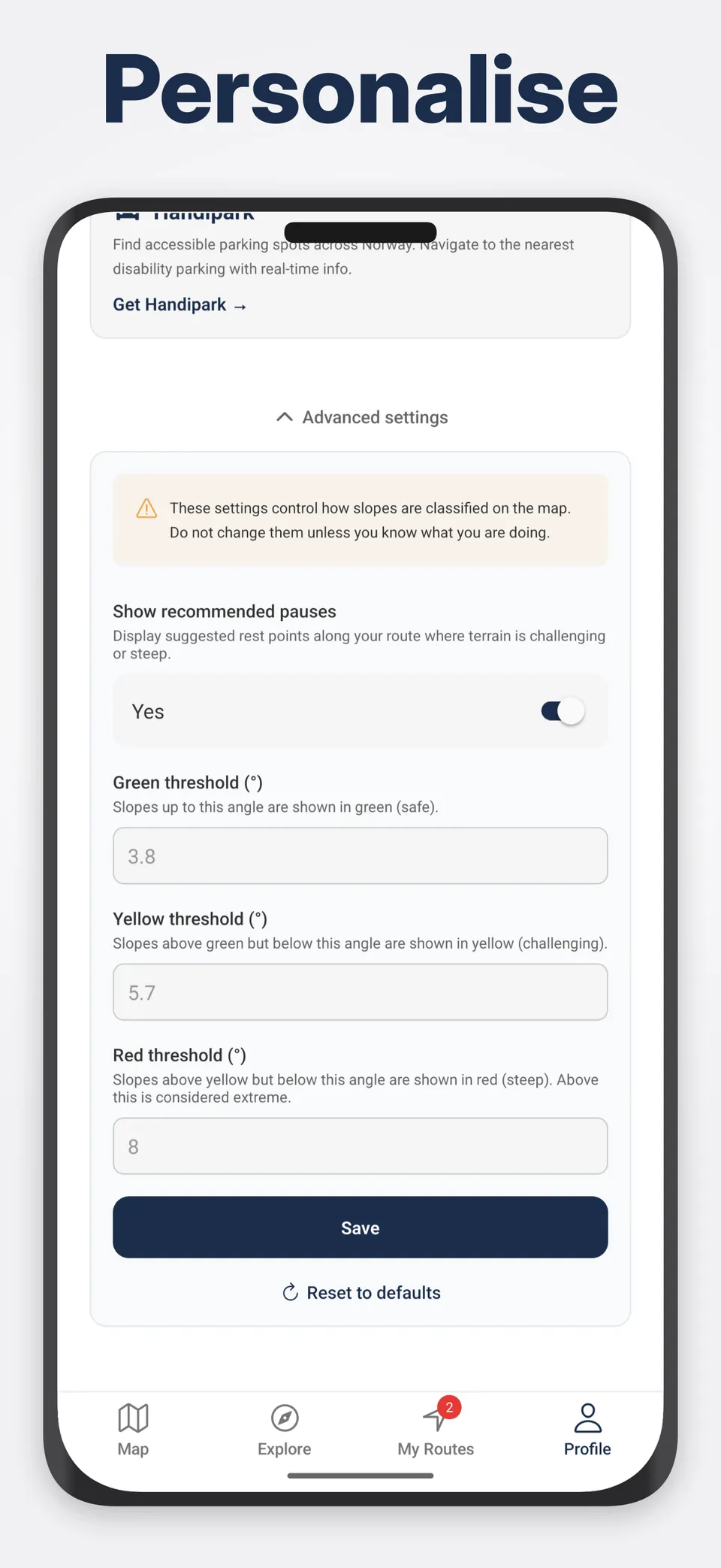
Personalised by mobility type and stamina
How It Works
Tell us how you move
Walking, manual wheelchair, or electric wheelchair. Framkom adapts slope thresholds to your mobility type.
Plan your route
Search an address or long-press the map. Framkom analyses elevation every 5 metres along the path.
See the colours
Green (easy), yellow (challenging), red (steep). Instantly judge if the route is right for you.
HandiPark: Europe Parking
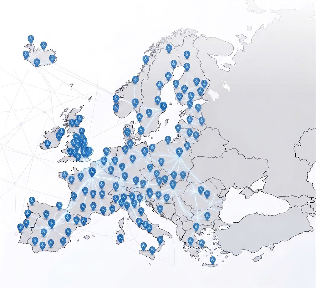
Find accessible parking spots across 29 European countries.
Learn more